Monday, February 18, 2013

Lions, Zebras and Giraffes, Oh My


The next two days were spent driving towards Etosha National Park.  We camped one night at Hakusembe Lodge outside of Rundu on the banks of the Okavango River.  It was a beautiful setting and we had the good fortune to meet a German couple who were driving a similar route in reverse.  We prepared a communal braii (barbecue) and enjoyed hearing their stories late into the night.

The next day we started out for Etosha, stopping to get supplies and gas along the way.  When we were gassing up, a gentlemen approached us and and after spotting the British registration on Oswald, asked if we had driven all the way down from the UK.  Turns out he was from Scotland and both he and his girlfriend of 45 years had driven the length of Africa 20+ years ago.  To me, the best part of travel is the characters you meet along the way.

Our overnight was at Onguma Bush Camp located at the eastern gate to Etosha.  There are only a few sites and each has it's own private bathroom and shower - deluxe!  After setting up the tent, we walked over to the lodge for a sundowner (cocktail) overlooking a water hole they have.


A huge group of giraffes came into view and we counted a total of 19.  You can also see wildebeest in the background.  We headed back to camp and cooked a great dinner before turning in.


The next morning, we entered Etosha through the Von Lindenquist Gate heading west.  Etosha is a huge park and it took us almost 3 full days to cross it.  The western part, not shown on this map, is open by permit only and we were fortunate to be able to travel there.


(Courtesy of Etosha's web site)

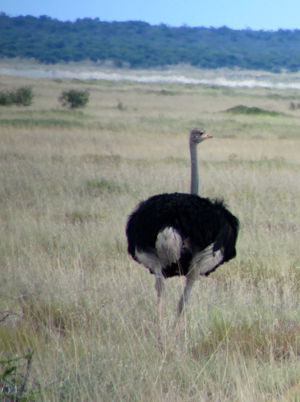
Once you enter the park, you are not allowed to exit the vehicle and all the campgrounds are fenced and gated.  Within the first few miles, we started seeing a variety of animals.


Lions hunt and eat at night.  Note the "buffet" in the distance.


Not unlike the behavior of every cat we have known!


The only rhino we saw.  


It was over 100 degrees and shade was sparse.

Near Halali, we detoured over to see the Etosha Pan, a huge dry lake bed.  In the rainy season, it gets covered by a few feet of rain and is home to large flocks of flamingos.  They have had no significant rain in almost two years.  


We arrived at Okaukuejo Rest Camp in late afternoon and set up camp.  This was probably the busiest campsite we would encounter but it had excellent facilities.  It also has a waterhole that is lit at night and attracts all kinds of animals.  It was difficult to photograph them as the sun went down but the next morning brought a huge variety of animals back to drink.


There are few roads in Etosha but along the way, are short trips off to see various waterholes.  We visited most of them but due to the lack of rain and the heat, we didn't see many animals there.  Many did choose to cross the roads in front of us and we spotted some along side.


As we entered the western section of the park, we saw no cars at all.  It was the heat of the day (over 100) and we did really didn't expect to see much in the way of animals.  Our destination for the night was Dolomite Camp and as we turned towards it, we were shocked to see this:


This large bull alternated between resting his trunk in the tank and on the ground.  He ignored us as we sat in the vehicle for about 30 minutes taking pictures.


Dolomite Camp sits on top of the only ridge for miles, offering a commanding view of the park in all directions.  It was our first night sleeping in a bed so we were really looking forward to it.  Upon arrival, you park at the base of the ridge and you walk up to the lodge and the "tents".  Each tent has a balcony with incredible views and we were fortunate to get one facing west.


We saw the storm approaching but it passed by without much needed rain.


The most amazing sunsets.

Saturday, February 16, 2013

Bad roads and border crossings


Namibia - Border crossing at Katima Mulilo

Our plan was to head out after an early breakfast so we could hit the border crossing early.  Unfortunately, the rear door on Oswald wouldn't open due to some corrosion in the lock and it wasn't until a very small member of the Waterberry staff was able to climb through a window that we were able to get underway.  The first leg to the border was a little over 200 kilometers (120 miles) and we had been warned that the road "deteriorated" a bit as you got closer to the border.

It is often said that the concept of maintenance is foreign to most Africans -- it has to be taught.  The roads in Africa range from excellent (comparable to what we have here in the States) to virtually non-existent.  Some countries, like the Congo, had well established networks of roads under colonial rule but since independence, the roads have virtually disappeared and look like this:


The first 50 miles of pavement from Livingstone were in generally good shape and we made great time. But we started to encounter potholes, actually more like ditches, that would span the entire width of the road.  Some were 8-10 feet wide, 2-3 feet across and often a yard deep.  Traffic would simply drive into the bush to avoid them.  Since they were randomly spaced, we were constantly trying to anticipate them and I got pretty good at seeing the alternate routes previous vehicles had taken well in advance.  We also started seeing the carcasses of what used to be automobiles, completely stripped of usable material and laying by the road.


There were people and animals everywhere walking along the road, in the road and across the road.  One cardinal rule in Africa is never drive after dark and I can only imagine what that must be like.

Border crossings in Africa can truly be a "Hey, it's Africa" experience.  I have read accounts of people planning an entire day just to navigate their way across one border, dealing with the paperwork, bureaucracy and random fees and taxes that are assessed.  Oswald was registered in the United Kingdom and as such, was required to have a Carnet de Passages to transit across the border.  A Carnet is essentially a document that allows for the temporary importation of a vehicle, and looks much like a very large coupon book.  We had been advised that the folks who had used Oswald prior to us had not gotten the Carnet stamped correctly so we really did not know what to expect.

When we arrived at the Zambia border checkpoint, we were ushered into a small and very hot office and told to wait.  Eventually, a gentlemen arrived and I explained the situation about the Carnet.  Surprisingly, he didn't think it was a problem, stamped our passports and the Carnet and directed us across the border.  100 yards later, we had to repeat the process in Namibia.  You visit immigration first, then customs, you pay a Carbon tax and have the Carnet stamped.  You then drive about 10 yards, park your car, and enter a small guard shack where you are directed to a huge ledger book.  The book reminded me of something you would probably have seen in Elizabethan England.  In that book are pages and pages of hand written entries dating back who knows how long that included all kinds of required information -- vehicle number, engine number, etc.  It would have been fascinating reading had we had the time.   Total elapsed time was about 2 hours, amazing by African standards.


We were now in Namibia and the roads improved instantly.  There aren't a lot of paved roads there but what they have are maintained.  After stopping for gas and groceries, we headed to our first campsite in the Bwabwata National Park located in the Caprivi Strip, a narrow strip of land bordered by Angola, Botswana and Zambia.  Nambwa Camp was developed by local communities in partnership with the National Park.  The drive in was quite muddy but well worth it as there are only 6 campsites and we had the place to ourselves.


We also started seeing animals.


Baboons


Large herds of Springboks

And of course, another amazing sunset.